Remote sensing with drones
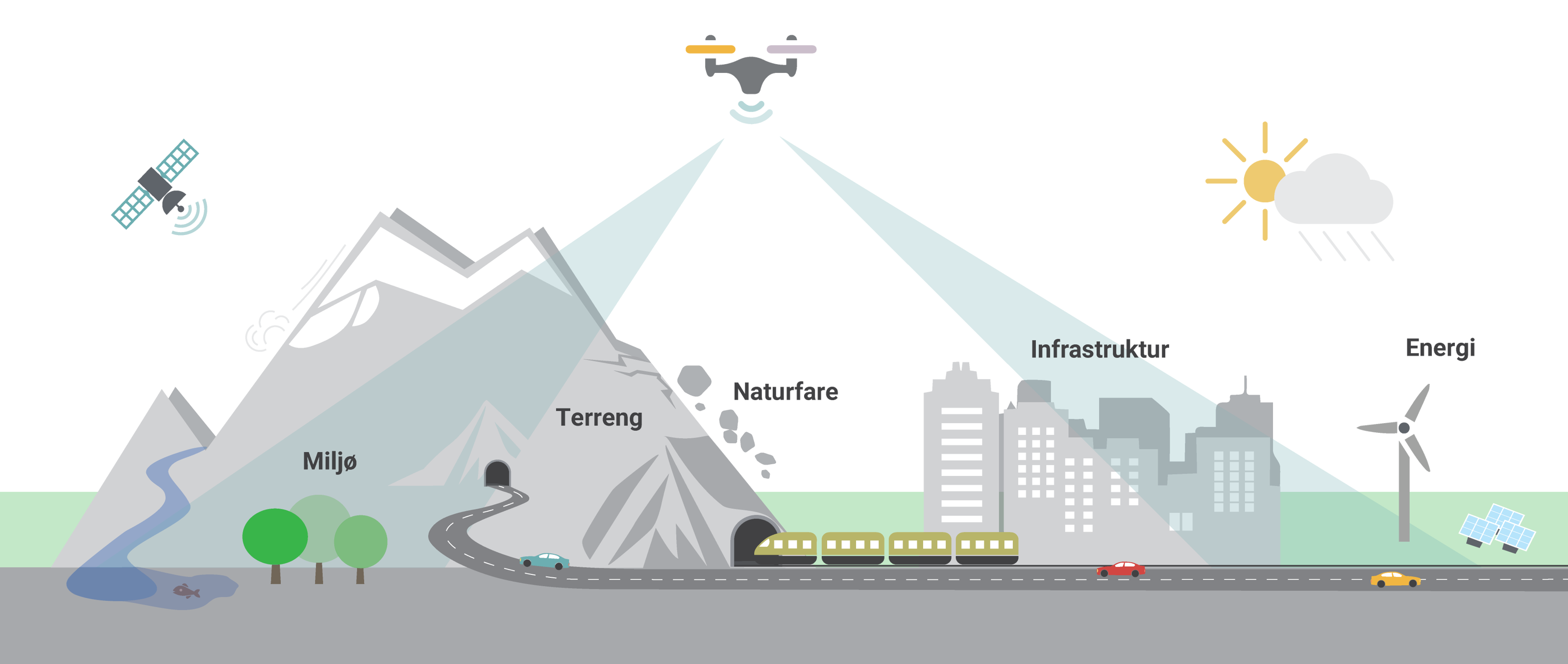
We have our own drone lab which carries out technical monitoring of public bodies and private businesses related to critical societal tasks.
Published 28.02.2023

NGI assists public bodies and private businesses with consultancy and research related to critical societal tasks such as developing and managing buildings and infrastructure, evaluating and reducing risk and vulnerability, and transitioning to a sustainable future. NGI's vision is to use the best technology to support such activities.


Dyre Oliver Dammann
Head of Section Remote Sensing and Geophysics dyre.dammann@ngi.no+47 930 10 310
