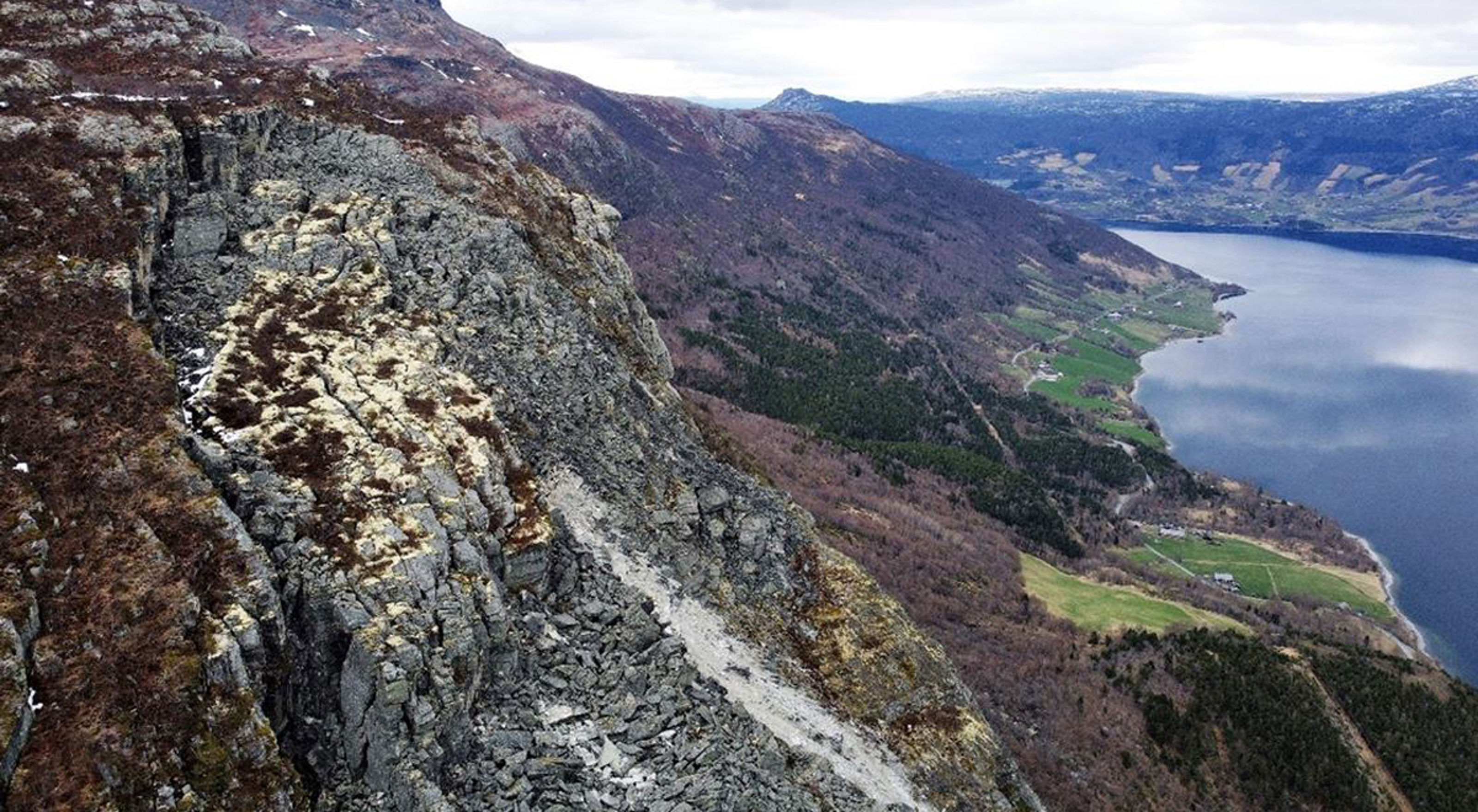
Tsunami map for Lake Vangsmjøse
On behalf of NVE, NGI has prepared tsunami maps to reveal which areas around Lake Vangsmjøse could be affected if a significant landslide were to occur from Skutshorn in Vang municipality.

Skutshorn seen from the west with Vangsmjøse and parts of the municipal center in Vang in the background ( Gustav Pless / NVE)

Sylfest Glimsdal
Senior Specialist Climate Adaptation and Hydrodynamics sylfest.glimsdal@ngi.no+47 909 72 669

Carl Bonnevie Harbitz
Expert Adviser Climate Adaptation and Hydrodynamics carl.bonnevie.harbitz@ngi.no+47 922 39 636