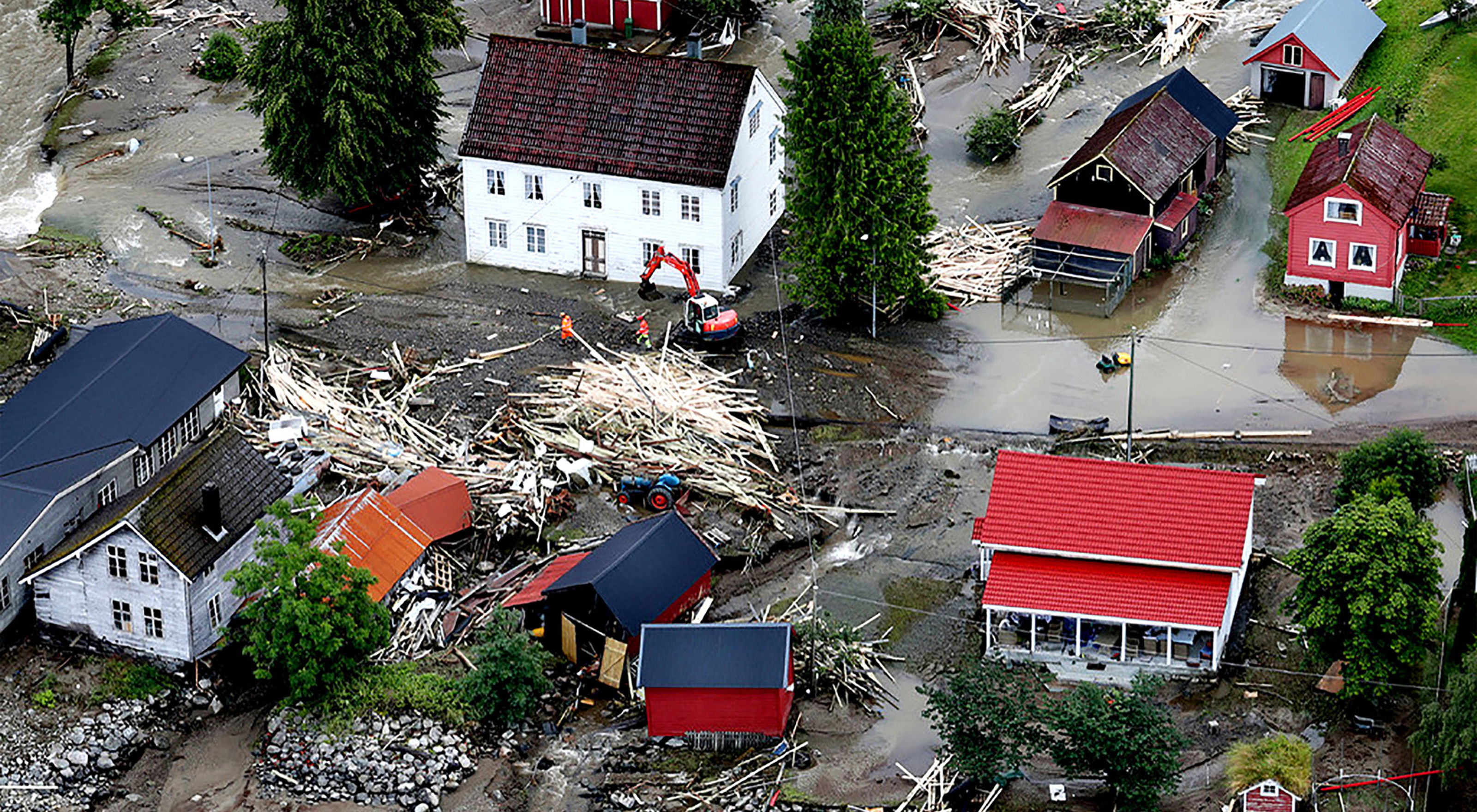
Mapping of climate-related natural hazards
NGI assists the municipalities in Øvre Romerike (North of Oslo) in mapping areas that will be exposed to natural hazards in the year 2070-2100 due to climate change. The goal is for the municipalities to be able to use the maps to identify vulnerable infrastructure and areas where new infrastructure should be avoided.


Carl Bonnevie Harbitz
Expert Adviser Climate Adaptation and Hydrodynamics carl.bonnevie.harbitz@ngi.no+47 922 39 636